About Me

Qiusheng Wu, PhD
(中文名:吴秋生)
Associate Professor
University of Tennessee
Curriculum Vitae
Faculty page @ UTK
Faculty page @ UTK Geography
Pronunciation:
Chyoo-sheng Woo
 Leanpub
|
Amazon
|
Source Code
Leanpub
|
Amazon
|
Source Code Leanpub
|
Amazon
|
Source Code
Leanpub
|
Amazon
|
Source Code Publisher
|
Amazon
|
Source Code
Publisher
|
Amazon
|
Source Code
Dr. Qiusheng Wu is an Associate Professor in the Department of Geography & Sustainability at the University of Tennessee, Knoxville. He is also an Amazon Scholar. Dr. Wu’s research focuses on advancing open-source geospatial analytics through cloud computing and GeoAI. He is the creator and maintainer of several widely used open-source Python packages, including Geemap, Leafmap, SAMGeo, and GeoAI, which integrate cloud-based geospatial platforms with AI-powered analysis and visualization. Dr. Wu’s work bridges remote sensing, Earth observation, and artificial intelligence to make large-scale geospatial data more accessible, reproducible, and intelligent for researchers, educators, and practitioners worldwide. His open-source projects can be found on GitHub at https://github.com/opengeos.
Academic Profiles:
Google Scholar
|
ResearchGate
|
ORCID
|
Publons
|
GitHub
|
Medium
|
Figshare
|
Blog
|
YouTube
Appointments:
• 2025–now Amazon Scholar
• 2024–now Director of Graduate Studies, Department of
Geography & Sustainability, UTK
• 2023–now Associate Professor, Department of Geography &
Sustainability, UTK
• 2022–2025 Amazon Visiting Academic
• 2022–now Director of
TennesseeView, a
Tennessee Remote Sensing Consortium
• 2023–2024 Senior Research Fellow, United Nations
University (UNU-INWEH)
• 2021–2024 Associate Graduate Director, Department of
Geography, University of Tennessee
• 2019–2023 Assistant Professor, Department of Geography &
Sustainability, UTK
• 2018–2019 Graduate Director, Department of Geography,
Binghamton University (SUNY)
• 2015–2019 Assistant Professor, Department of Geography,
Binghamton University (SUNY)
Books:
• Wu, Q. (2025).
Spatial Data Management with DuckDB: From SQL Basics to Advanced
Geospatial Analytics. 446 pages. Independently published. PDF edition ISBN
979-8993859705; Print edition ISBN 979-8274710572.
https://duckdb.gishub.org
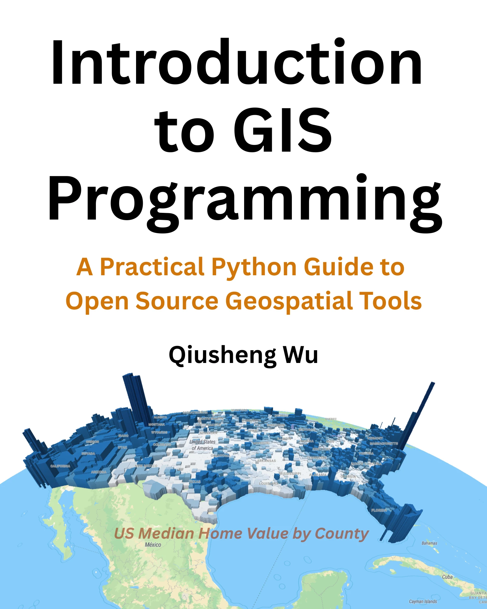
• Wu, Q. (2025).
Introduction to GIS Programming: A Practical Python Guide to Open
Source Geospatial Tools. 556 pages. Independently published. ISBN 979-8286979455.
https://gispro.gishub.org
• Wu, Q. (2023).
Earth Engine and Geemap: Geospatial Data Science with Python.
408 pages. ISBN (Print) 978-1738767519, ISBN (PDF) 978-1738767526.
Locate Press.
https://book.geemap.org
Open-source Packages/Apps for Geospatial Analysis:
• R Packages:
whiteboxR
• Python Packages:
geemap
|
leafmap
|
geospatial
|
lidar
|
whitebox
|
pygis
|
streamlit-geospatial
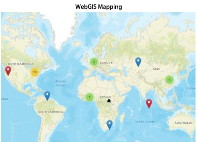
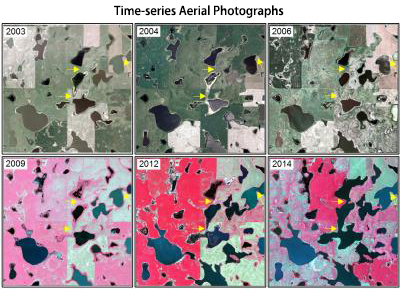
• Google Earth Engine:
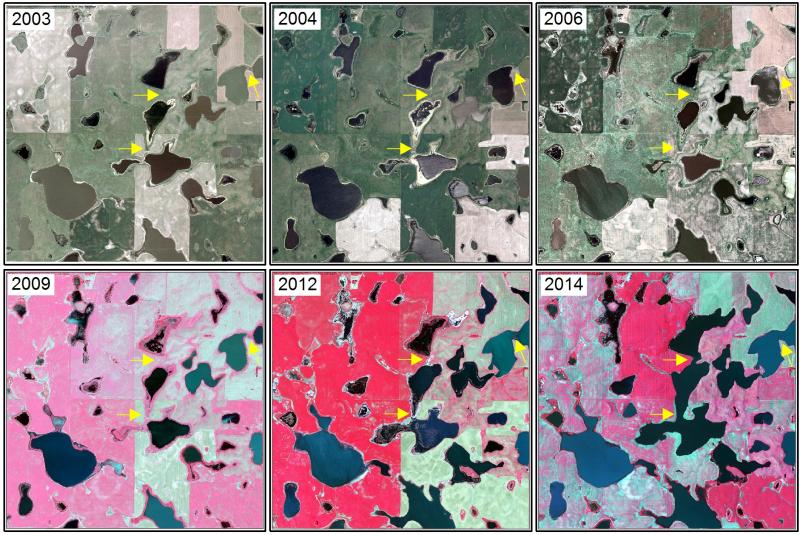
Wetland Inundation Mapping
|
Earth Engine Apps
|
QGIS EE Examples
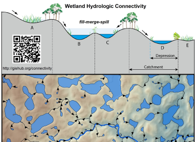
• ArcGIS Toolboxes:
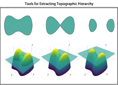
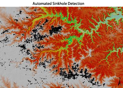
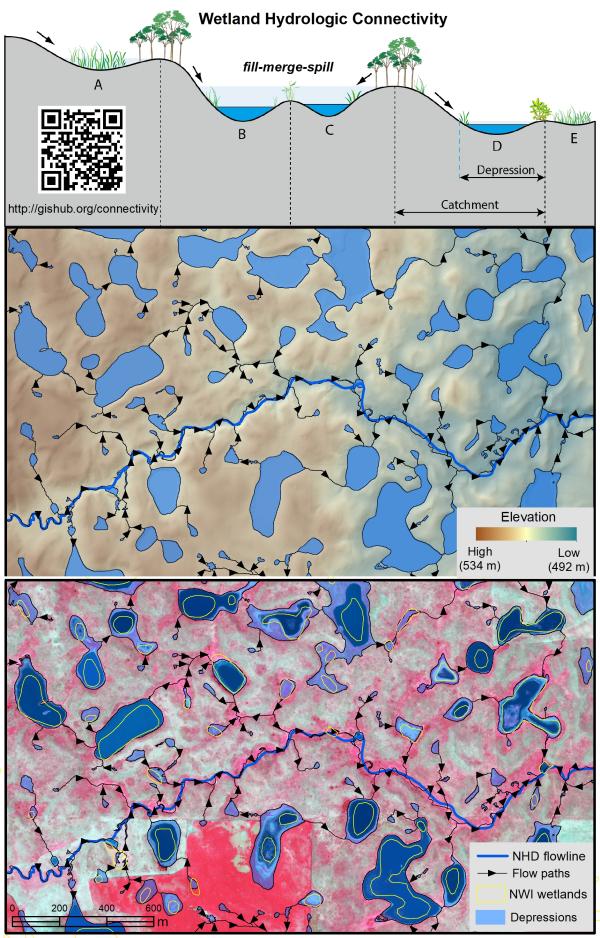
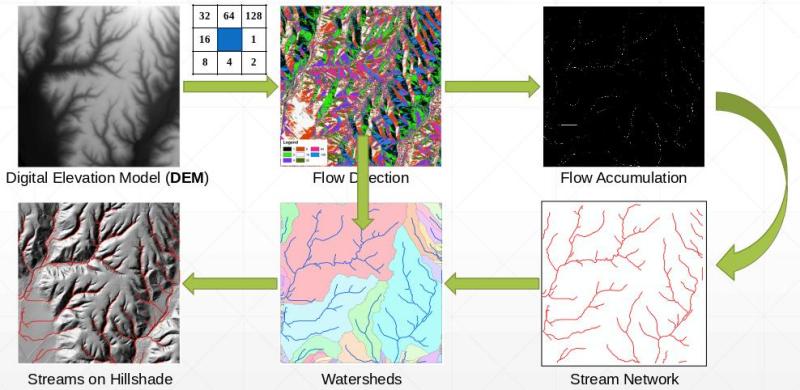
Depression Identification Analyst
|
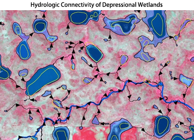
Wetland Hydrology Analyst
|
Drumlin Extraction Toolbox
|
Level-Set Toolbox
|
WhiteboxTools-ArcGIS
Check out Dr. Wu's
YouTube Channel
for video tutorials on cloud computing and open geospatial: